


The Blackberry Campaign
By: David Heighway, Hamilton County Historian
From 1785 to the signing of the Treaty of Greenville in 1795, Indiana was part of the Northwest Indian Wars. The land was occupied by various Native American tribes, but incursions of whites from Kentucky caused the groups to clash. Hamilton County may have been on the path of some of these clashes.
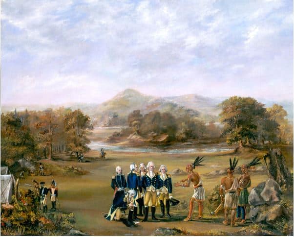
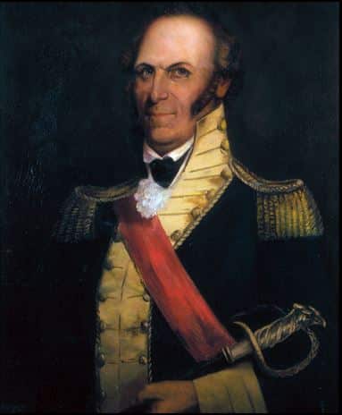
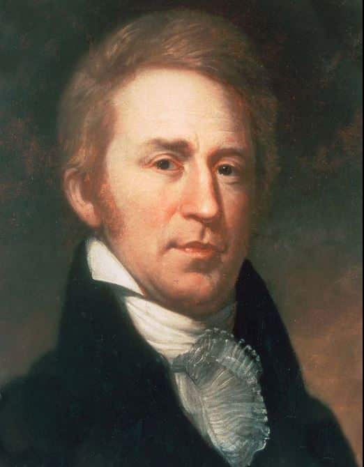
There was a confederation of tribes that opposed these incursions – the important leaders were Little Turtle (Miami), Blue Jacket (Shawnee), and Buckongahelas (Lenape [Delaware]). President George Washington ordered a military response with soldiers commanded by General Arthur St. Clair. General Charles Scott led a group of Kentucky militia, among whom was a young lieutenant named William Clark who kept a journal.
In 1791, the army advanced into what would become Indiana. They started on May 1stby crossing the Ohio River near the present site of Madison and headed for the Indian villages at Ouiatenon on the Wabash River. General Scott reported later:
“By the 31st, I marched one hundred and thirty five miles, over a country cut by four large branches of White River and many small streams with steep, muddy banks. During this march, I traversed a country alternately interspersed with the most luxurious soil, and deep clayey bogs from one to five miles wide, rendered almost impervious by brush and briars. Rain fell in torrents every day, with frequent blasts of wind and thunder-storms. These obstacles impeded my progress, wore down my horses, and destroyed my provision.”
Some historians said that this gave the expedition the name of the “Blackberry Campaign” since the soldiers stopped to pick berries to supplement their food supplies. When the expedition reached its objective, the soldiers destroyed villages and the attack was considered a success.
The return trip was as difficult as the initial advance. William Clark said in his journal, “The badness of the hills and deepness of the mud and the height of the creeks, together with brush, exceeds all kinds of descriptions.” Crossing the White River at one point, three men and several horses were drowned. The army returned in early June to the “rapids of the Ohio” – known today as the Falls of the Ohio near Clarksville. The town had been established by George Rogers Clark, the Revolutionary War hero and older brother of William.
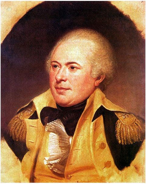
General James Wilkinson launched another expedition in August and, according to a map drawn in 1805, went from Fort Washington (Cincinnati) up the present state line to the area of Fort Wayne. He deliberately avoided crossing White River, saying in his report afterwards:
“I left the neighborhood of Fort Washington … and agreeably to my original plan, feinted boldly at the Miami villages, by the most direct course the nature of the ground, over which I had to march would permit. I persevered in this plan … and thereby avoided the hunting ground of the enemy, and the paths which lead directly from the White River to the Wabash, leaving the headwaters of the first to my left …”
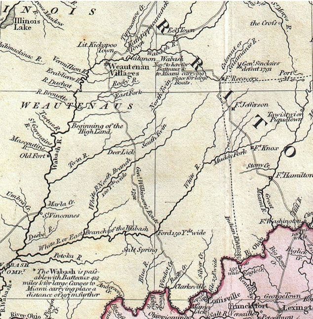
He did a successful attack on a village at Eel River, then followed the Wabash River to Ouiatanon. On his return south, he followed Scott’s route to Falls of the Ohio.
Did they come through Hamilton County?
We know about the two trails that crossed at Strawtown: the trail following White River going north to Fort Wayne, and the Lafayette Trace going from the Whitewater Valley to Lafayette. The route had been in use for a long time and stayed in use afterwards. I’ve talked before about the War of 1812 expedition from Vallonia (near Seymour), which took a route up through Bartholomew County, and followed White River to Strawtown.
On their return trips, could Scott and Wilkinson have taken the Lafayette Trace from Ouiatenon to Strawtown, then turned to follow the White River south? The full route would have roughly paralleled present highway 65, through Bartholomew County, past Vallonia, then to Clarksville. The “four large branches of White River” that General Scott talked about could be the Muscatatuck River, the East Fork of the White, Fall Creek, and the West Fork of the White – all of which would have been on the route. The crossing where the three men drowned could even have been at Strawtown.
It will take more research to find the answers to this. However, it’s interesting to think that 13 years before he joined Meriwether Lewis in leading the Corps of Discovery, William Clark may have learning about survival in the wilderness as he came through the present area of Hamilton County.